Cycling your first EuroVelo route: tips for beginners
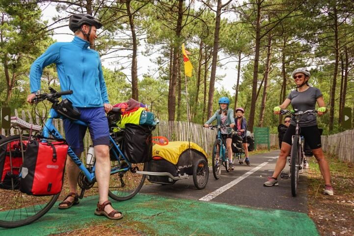
You see lovely pictures of people on cycling trips all across Europe. You are also wondering how they are doing that and have no idea where to start. We got you covered!
While ECF and National EuroVelo Coordination Centers and Coordinators (NECC/Cs) make every effort to ensure the tracks and their levels of development are both current and accurate, errors or outdated information can occur. The user is fully responsible for his or her own safety when making use of the tracks and for following national traffic rules and signing. Please download and read the complete disclaimer before using the tracks.
The Meuse Cycle Route follows one of the most important rivers in Europe and welcomes cyclists of all levels! From the plateau of Langres via Hoek van Holland to Rotterdam, step on your bike and discover 3 countries (France, Belgium and Netherlands) by cycling over 1,050 kilometers of marked roads.
This attractive and varied route offers ever-changing scenery, with charming towns and villages on both banks of the river, plus there are plenty of cultural heritage sites and culinary treasures from beginning to end.
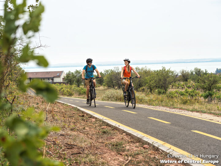
You see lovely pictures of people on cycling trips all across Europe. You are also wondering how they are doing that and have no idea where to start. We got you covered!
Many of the towns along EuroVelo 19 – Meuse Cycle Route have witnessed battles or historical events, right on the banks of this key European river, which unites three countries. Let us take you on a cycling trip through recent European history!
After another busy summer, the annual EuroVelo Summer Photo Contest has come to an end. For two months, we invited everyone to join the #MoreCyclingTourism movement and share their best photo from EuroVelo 15 – Rhine Cycle Route or EuroVelo 19 – Meuse Cycle Route to inspire others to go on an unfor…
You dreamt of it and we did, too – here is the brand-new EuroVelo Route Planner to help you organise your future cycling trips along EuroVelo routes.

You’ve been waiting for it, and it is finally here! The EuroVelo Summer Photo Contest is back for the 5th year in a row! First time hearing about it? Don’t worry - here’s everything you need to know for a chance to win a €1,500 cycling trip
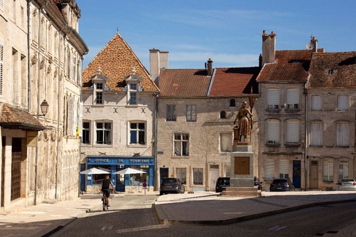
The three countries crossed by EuroVelo 19 - Meuse Cycle Route have something else in common than the Meuse River... an amazing tradition of beers and cheeses that is worth discovering while cycling there!
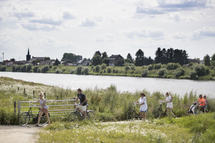
EuroVelo 19 – Meuse Cycle Route is one of the newest members of the EuroVelo family since joining the network in 2019; it is also one of the shortest EuroVelo routes. But make no mistake: there is a lot to do and see on 1,050 km. It is in the top five most popular routes on EuroVelo.com for more th…

This summer, we invited everyone to join the #MoreCyclingTourism movement and share the best photo of their cycling trips along EuroVelo 15 - Rhine Cycle Route or EuroVelo 19 - Meuse Cycle Route and inspire others to use their bikes for their next holidays. We received many submissions from cyclist…
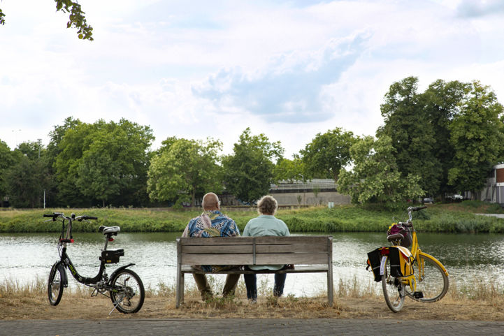
Learn everything you need to know about the special cycling-friendly services schemes along the beautiful Meuse Cycle Route, and get ready for your next cycling trip with peace of mind!

The EuroVelo Summer Photo Contest is back for its 2022 edition! So don't forget to bring along your camera on your next trip along EuroVelo 15 - Rhine Cycle Route or EuroVelo 19 - Meuse Cycle Route. Who knows? You may be one of the two lucky winners of a cycling holiday package along a section of t…

Flanders is cycling Valhalla, a glorious destination for a trip on two wheels. Its many riches are now bundled into nine iconic and thematic cycle routes, tailor-made for the adventurous.
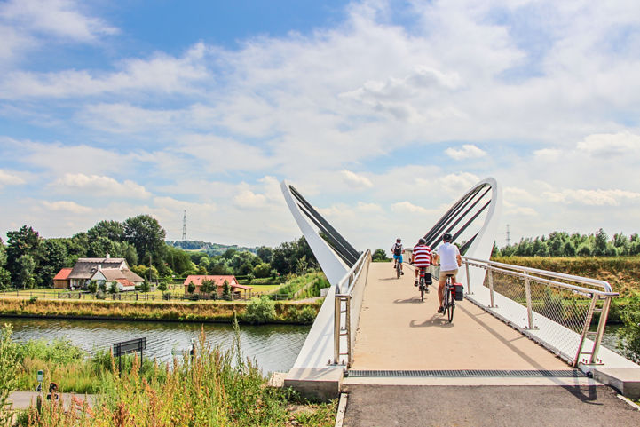
Cycling makes you happy. The changing landscapes. The breeze in your hair. The connection to nature...the list goes on. But what if the cycling experience could be enhanced still further by cycling on consistently high-quality infrastructure across international borders? Read on to find out about…

Springtime has come! As the banks of the Meuse River are certainly full of blossoming flowers right now, you’ll find here all the tips to plan a successful cycling trip.

This year, we invited everyone to join the #MoreCyclingTourism movement, share the best photo of their cycling trips along EuroVelo 15 - Rhine Cycle Route or EuroVelo 19 - Meuse Cycle Route and inspire others to travel in a new way this summer. These are our winners!

Summer is here again, and with it, the latest edition of the EuroVelo Summer Photo Contest! Share the best picture of your cycle holidays along EuroVelo 15 - Rhine Cycle Route or EuroVelo 19 - Meuse Cycle Route and win a cycle tourist package along a section of these routes. Our Instagram followers…
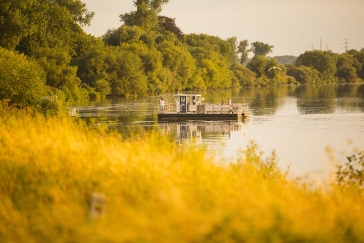
From the source of the Meuse River in the north-east of France through the dramatic landscapes of southern Belgium and on into the interconnected waterways of the Netherlands, there is a great variety of habitats that play host to an incredible biodiversity of plants and animals . In this article w…
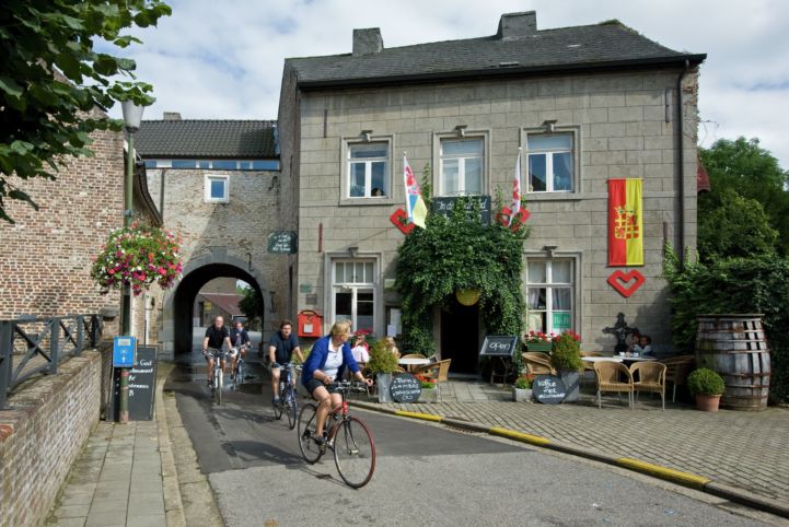
EuroVelo 19 follows the major European river Meuse, originating on the Langres Plateau in France and flowing through Belgium and the Netherlands to the North Sea. The history of the Meuse has shaped people and life along the river for many centuries.

EuroVelo 19 – Meuse Cycle Route is a peaceful itinerary following the Meuse River from its source to the North Sea, through France, Belgium and the Netherlands. If you are looking to complete a EuroVelo route during your holidays, EuroVelo 19 might be the itinerary you are looking for!

The flyer features general route information and a large map with various highlights, now under a refreshed EuroVelo branding.
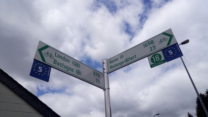
Throughout the last weeks, our colleague Aleksander Buczyński, ECF’s Infrastructure Officer, has been taking a closer look at the EuroVelo 19 – Meuse Cycle Route. In this fourth and final instalment, he explains how it fits into the EuroVelo network.
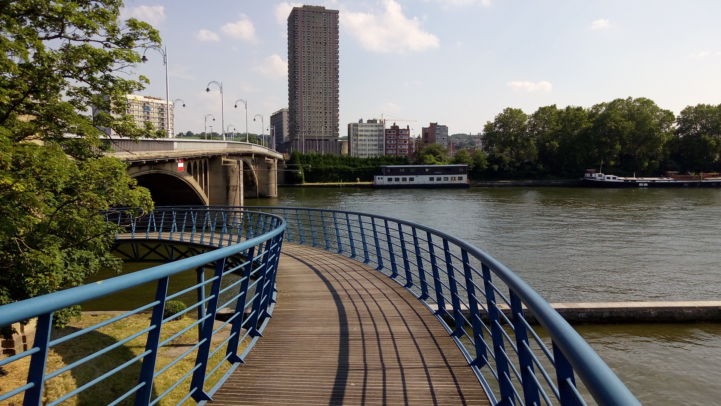
Throughout the last weeks, our colleague Aleksander Buczyński, ECF’s Infrastructure Officer, has been taking a closer look at the EuroVelo 19 – Meuse Cycle Route. In this third instalment, he focuses on different ways used to cross the river, an inherent challenge and at the same advantage for rout…
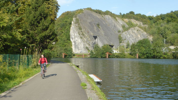
Throughout the autumn our colleague Aleksander Buczyński, the ECF’s Infrastructure Officer, is using EuroVelo 19 – Meuse Cycle Route to take a closer look at route planning. In this second instalment, he highlights EuroVelo 19 – Meuse Cycling Route as an example of good practice of the backbone app…
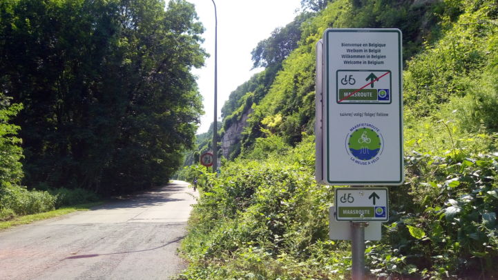
Over the coming months our colleague Aleksander Buczyński, the ECF’s Infrastructure Officer, will be using EuroVelo 19 – Meuse Cycle Route to take a closer look at route planning. To provide some context, in this first installment he considers the different approaches that are often applied in deci…
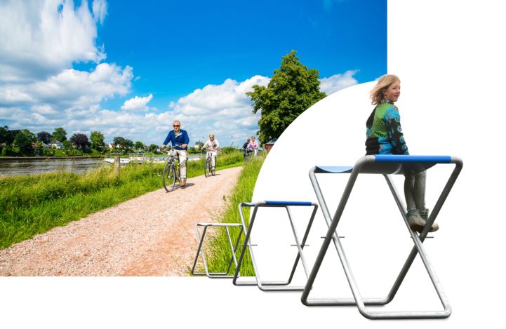
Regional partners in the Netherlands have developed a unique initiative to draw extra attention to the Limburg section of the LF Maasroute (the Dutch part of EuroVelo 19 - Meuse Cycle Route). In collaboration with artist Patrick Kusters, the Province of Limburg and ten municipalities have placed st…
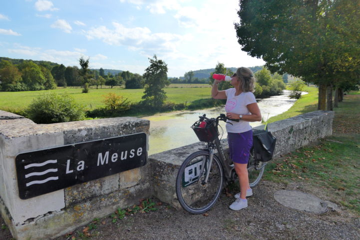
While lockdown measures are progressively being eased all around Europe, travelling is likely to remain limited in the coming weeks and months. Planning the summer holidays is therefore proving a bit of a challenge this year. With #EuroVeloAtHome, we would like to let you know that it’s okay to dre…
Lukas Sentner is a European slow traveller and cycling enthusiast. Since 2018 he has covered over 10,000 km around the globe powering his bike on passion! His longest journey led him across Scandinavia for the UNICEF charity action Dreams are borderless. This month we are happy to share Lukas’ expe…

As the newest EuroVelo route, the ECF’s EuroVelo Team is regularly contacted by people wanting to find out more about EuroVelo 19 – Meuse Cycle Route. This article provides an overview of some of the on- and offline resources, including the latest Bikeline guide, which will help you stay on track …
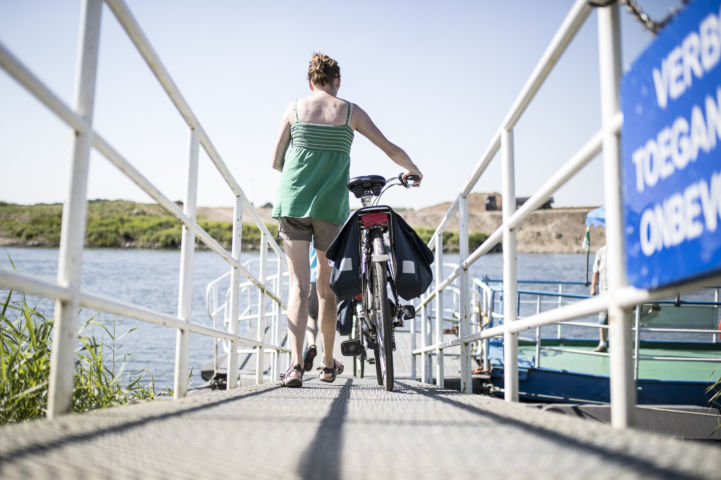
The cross-border public transport module provided on www.EuroVelo19.com makes it easier for cycle tourists to find flexible travelling solutions such as train stations, bus stations and mobility info centres indicated on interactive maps; country-specific intermodality information and an unusual pu…
Over the past two months, two contests took place: the EuroVelo 19 Summer Photo Contest and the EuroVelo 15 Summer Video Contest. We received many submissions from enthusiastic cyclists and thank everyone for participating. In the end, however, only one – or rather two – can be the winner!

Summer is here again, and with it, the first edition of the EuroVelo 19 Summer Photo Contest! Share the best picture of your cycle holidays with us and win a cycle tourist package along a section of one of the best long-distance cycle routes in the world: EuroVelo 19 – Meuse Cycle Route. Our Instag…
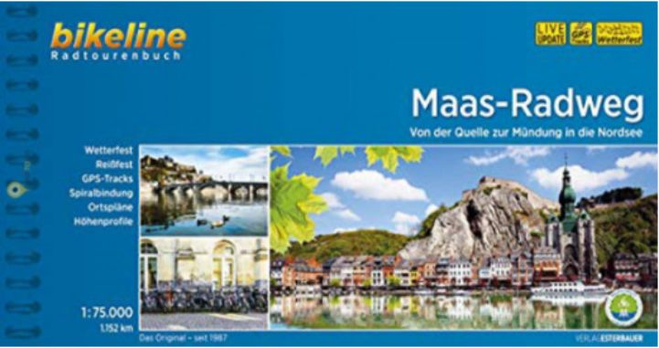
This cycling guide describes the entire EuroVelo 19 (1,070 km). It's the perfect tool before and during your journey: precise and informative maps, 1:75,000 scale, elevation and distance profiles, GPS tracks, accommodation and service index. Can be used even without any knowledge of German. English translation of the map legend and the user manual of the guide available at esterbauer.com/international. Available at local- and online book stores.
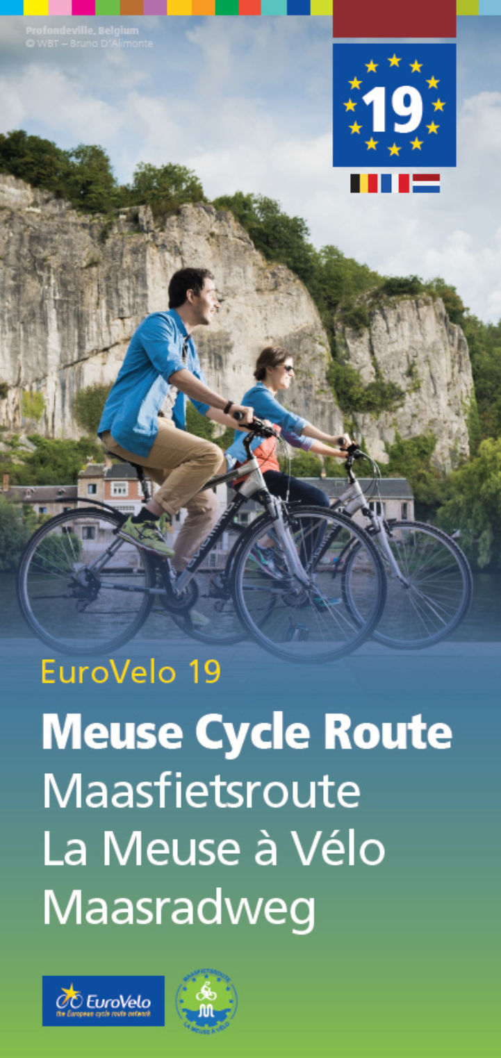
Official EuroVelo flyer with route description and map in multiple languages (English, French, Dutch and German)
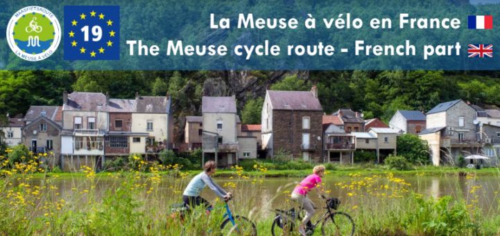
Guide for EuroVelo 19 - Meuse Cycle Route in France, with a description of the route, attractions along the way, bicycle-friendly accommodation and division of the route in daily stages.
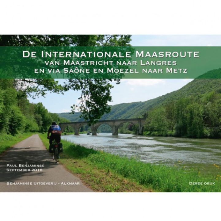
This guide of the International Meuse Cycle Route was published in 2021 and provides information on the route from Maastricht to Langres via Saone and Moselle, and further down to Nancy/Metz.
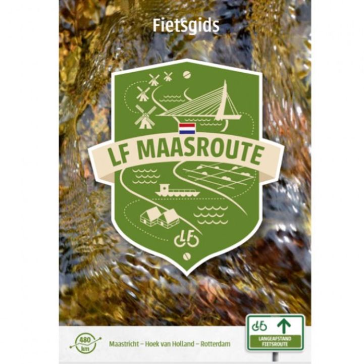
This guide provides a good insight into our relationship with one of the most important rivers in the south of the Netherlands: the Meuse. You cycle from Maastricht, where the river (approximately) enters the country, to Hook of Holland, where it flows into the sea. End point of the route is Rotterdam.
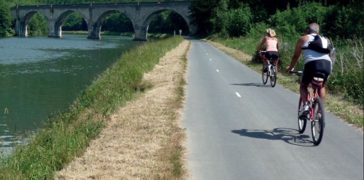
This press kit provides information on all daily sections of the route and is available in English, French and Dutch.
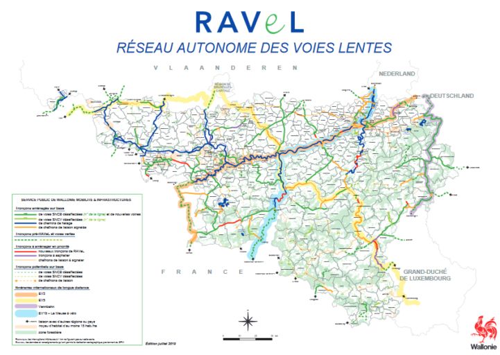
Every year, the Wallonia Civil Service edits a general map of the RAVeL and cycling routes within Wallonia and a detailed map on the 1:100,000 scale for each province: Walloon Brabant, Hainaut, Liège, Luxembourg and Namur.
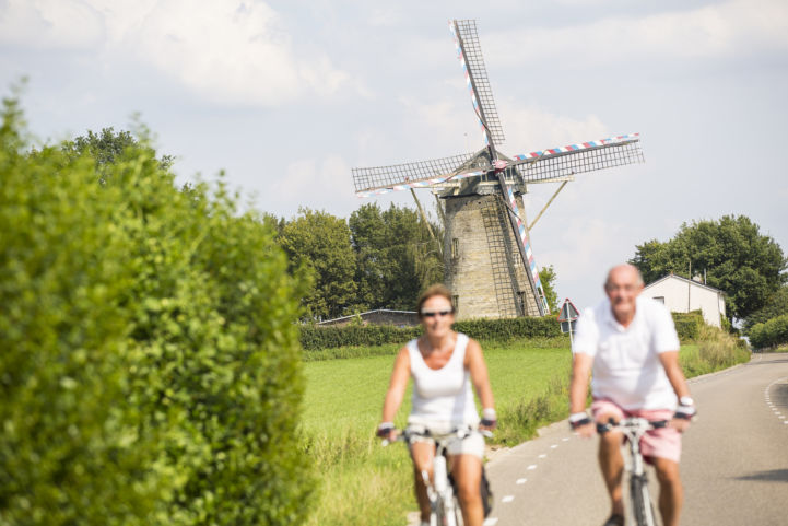
It takes very little time to book a cycling holiday. That is, if you can decide on what you want from the huge selection of cycling packages on offer. And then, the real fun begins: after a delicious breakfast, you head out on your bike, follow a plotted route and at the end of a great day of cycling, park your bike once more at your hospitable accommodation.
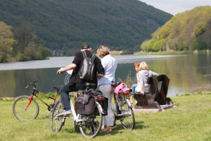
The International Meuse Route is a bicycle route along the meandering River Meuse (or Maas as it is known in Dutch) between Maastricht in the Netherlands and the French town of Sedan which boasts Europe’s largest castle. The route is over 280 km long and incorporates the RAVeL in Belgium and the in France. It is a promise of four days of highly enjoyable cycling through the valley of the River Meuse, past castles, forts and pretty villages, surrounded by breath-taking natural beauty.